Ohio Maps Home > Ohio Map Collection > Toledo Map
Street Map of Toledo
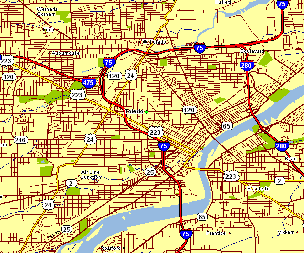
On top we have a basic picture exhibiting the geography of this area of interest with a basic variety of details.
You can share this map and make use of it in your research. Giving credit to this source would be helpful.
Supposing you are looking for help obtaining a map, a distinct kind of map, or are looking for a proper tailor-made cartographic design, please do not hesitate to contact YellowMaps.
Acquire good custom maps from us. A custom map made by us consist of a wonderful mixture of details, for instance: avenues, scale bar, coordinates, district municipalities, lakes, seas, forests, or railway features, etc. Map types range from trail to terrain, large-print to small-print, census blocks to economic places.
Proper maps are accurate, current, and not old. Finest map design by YellowMaps.
To acquire paper maps, for instance wall maps, maps for kids, or topo maps, do not hesitate to visit our map shop It contains over 100,000 map products.
Contact us about international topographic maps too. We will try to get you any map that is currently in circulation.
Back to Ohio map collection